
Major jumpoff: Brgy. Wawa, Rodriguez, Rizal
(Pamitinan): 14°43′51.7′′N 121°11′29.2′′ E 426 MASL
Days required / Hours to summit: (P); 2-4 hours
Specs: Minor, Difficulty 3/9
Features: Limestone formations, scenic views of Sierra Madre and Rizal province
BACKGROUND
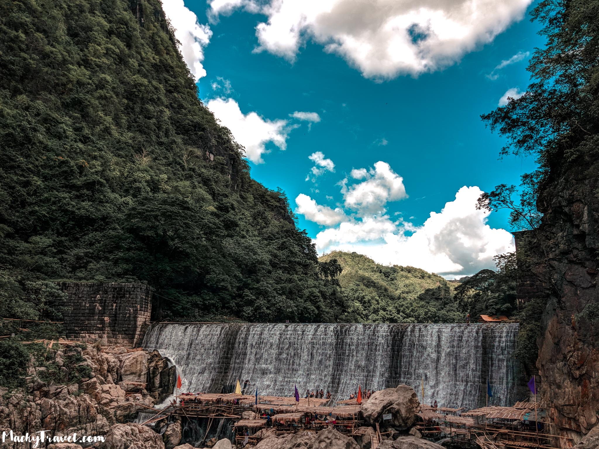
Brgy. Wawa in Rodriguez (formerly Montalban), Rizal has long been known to outdoor enthusiasts for its beautiful Montalban Gorge and the various activities that can be done there: caving in Binacayan Cave and Bat Cave, mountain biking, swimming by the Wawa Dam,and rock climbing in the limestone cliffs in Mt. Binacayan. In addition to this, it is now being recognised as a hiking spot, with at least two of its small, rocky mountains – Mt. Pamitinan and Mt. Binacayan – offering refreshingly new trails with close proximity to Metro Manila. Both mountains can be done as half-day hikes and can be combined as a nice day of adventure.
The two mountains play a role in both history and legend. The mythical folk hero Bernardo Carpio himself is said to have separated the two mountains by his brute force in an act of self-liberation, creating the gorge, the river, and the rock formations. Another version says he remains chained in the gorge, keeping the two mountains from colliding. Andres Bonifacio sought refuge in Pamitinan Cave in 1895, and it is where he proclaimed one of the first declarations of independence, and by some accounts his words are still inscribed in the cave: “Viva la Independencia Filipinas”
Mt. Pamitinan
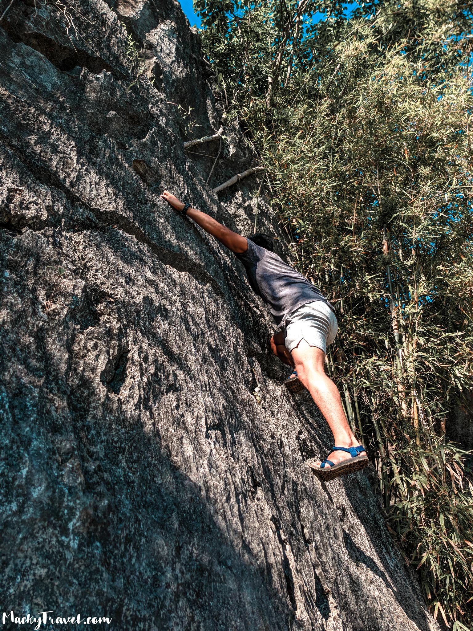
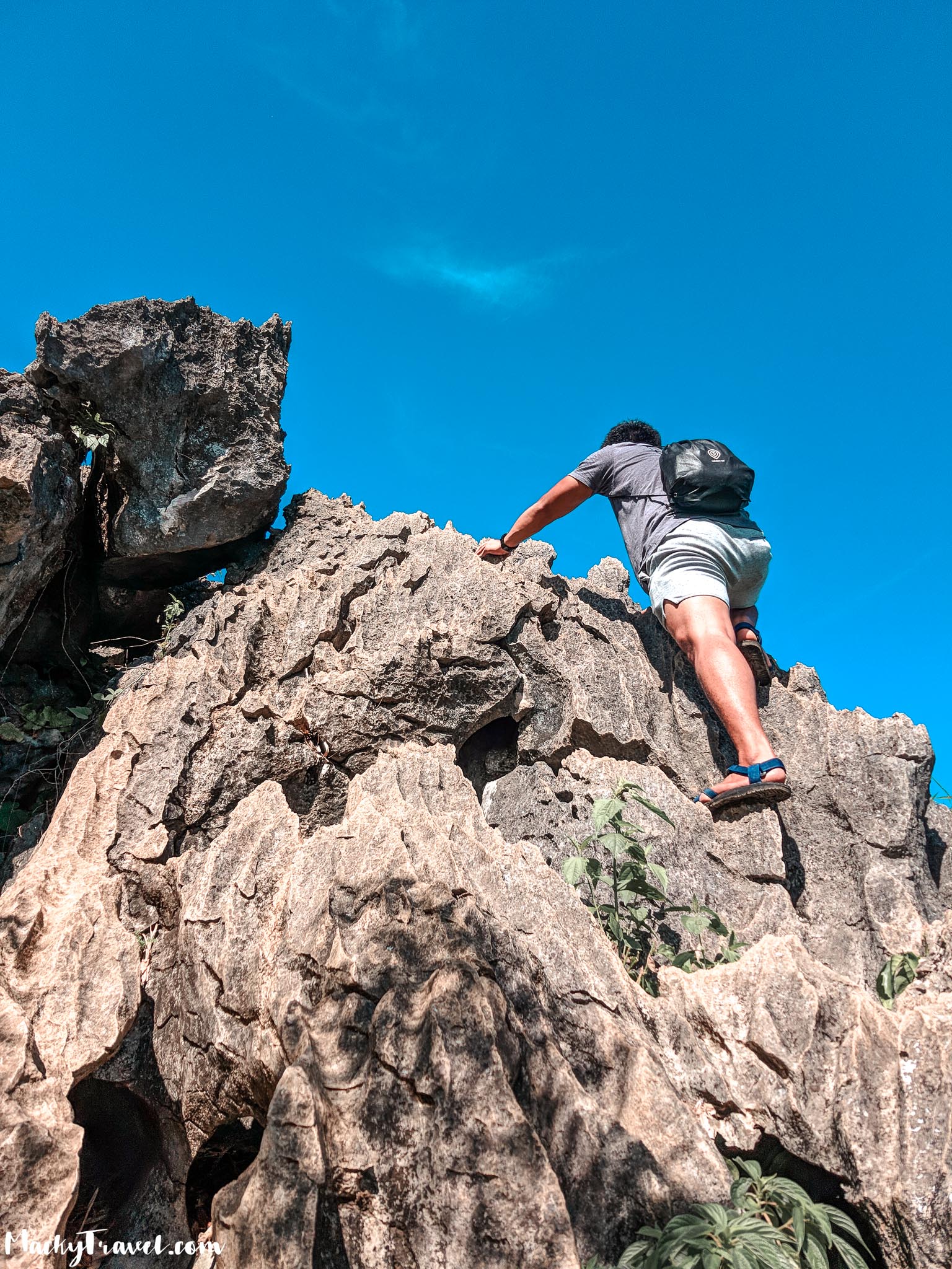
Mt. Pamitinan has a more established trail that takes roughly 1.5-2.5 hours going up. The first part is forested, passing through some attractions such as an ancient balete, the rock climbing. The Hapunang Banoy Junction is a rest area prior to the second, rocky part the trail. This part will be enjoyable to those who are used to rock climbing or bouldering, and a bit of a challenge for beginners – for whom it will be manageable, but requiring of concentration and care. The rocks are surrounded with bamboo trunks, some of which have alternating sections of holdable green and thorny brown trunk segments. Wearing gloves is recommended to ensure a comfortable grip on the jagged edges of the rocks and keep your skin off thorns.
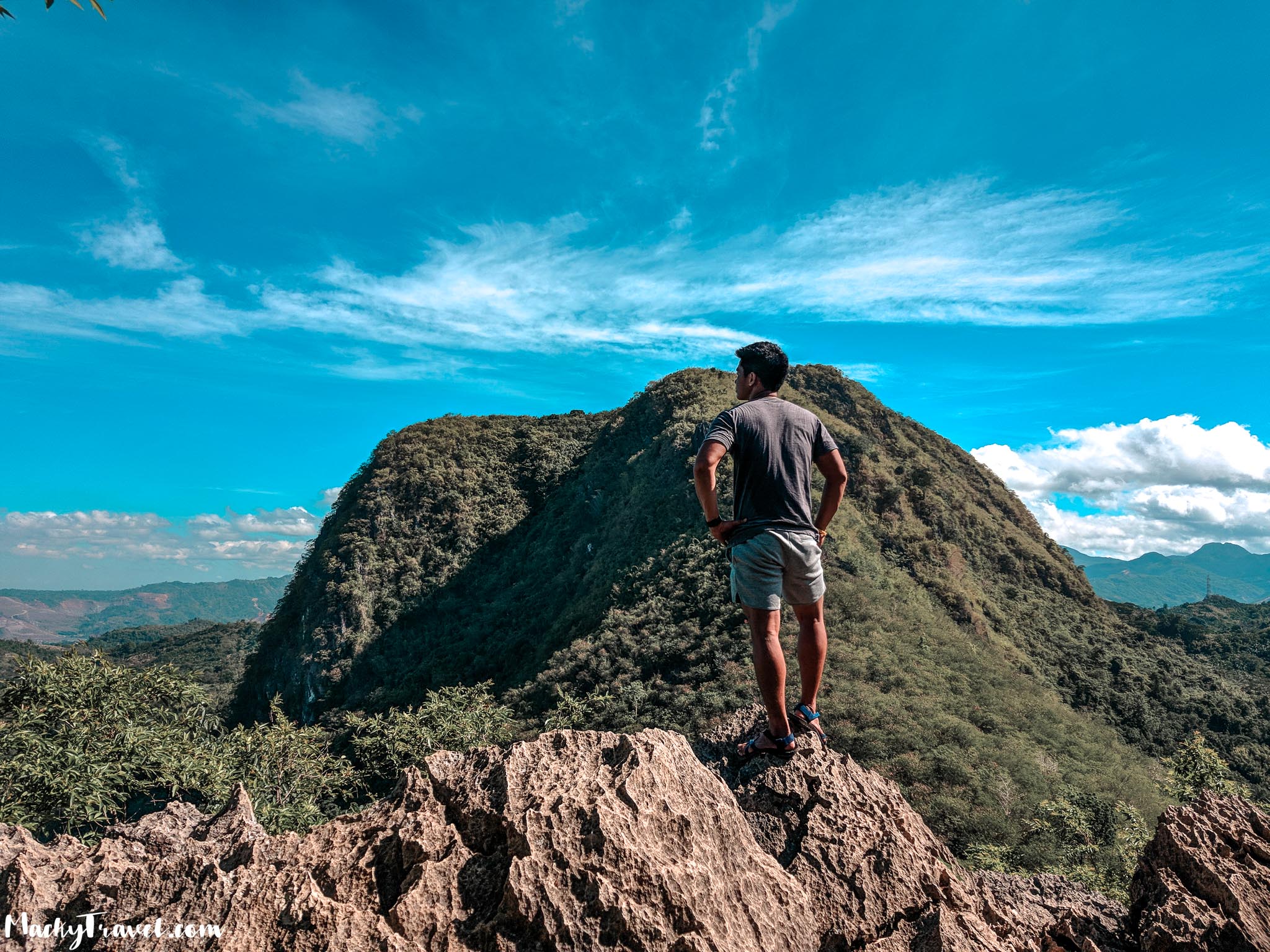
There are several viewpoints along the trail, culminating in the summit which has a 360-degree view. To the North, one can see Mt. Hapunang Banoy and a distant Mt. Arayat, and from northeast to south, a vast swath of Sierra Madre mountains, thankfully still green. To the west on the other hand are the rapidly-growing towns of Rizal, and the more immediate scenery of Wawa River and Mt. Binacayan.
MT. PAMITINAN DAYHIKE
0500 Take van from Cubao to Eastwood, Rodriguez, Rizal
0630 ETA Rodriguez, Rizal; take trike or jeep to brgy. Wawa
0730 Arrival at Brgy. Wawa. Register at barangay hall / tourism office
0800 Start trek up Mt. Pamitinan
0900 Arrival at Hapunang Banoy junction
1030 ETA summit / Lunch
1200 Start descent
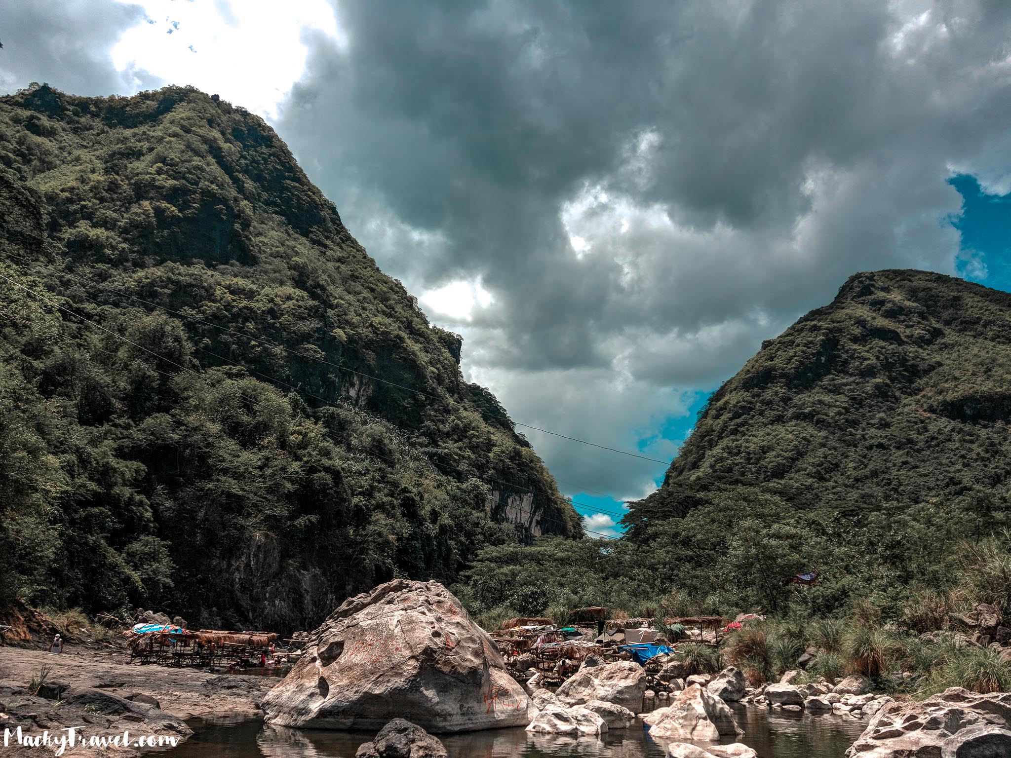
1400 Back at Brgy. Wawa. Explore the area / Sidetrips
1700 Tidy up then take outbound trike
1930 Back in Manila.
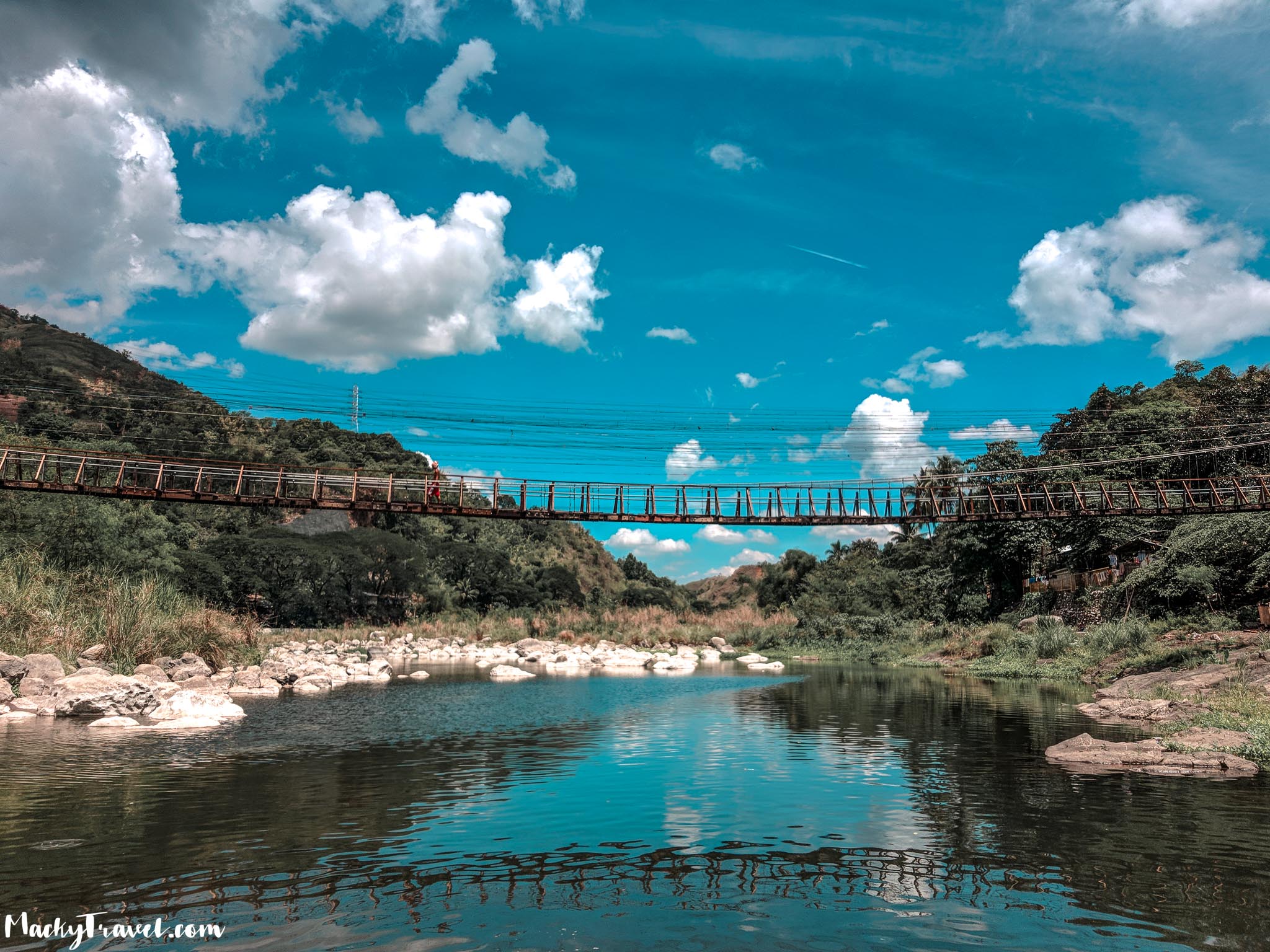
The jumping-off point is at Sitio Niño, where you will have to cross a bridge over Wawa River, that time the hanging bridge was under contractions so we cross in this little bridge.
The first Part of treaking is more on muddy stuffs, be careful because you might slide.
The second peak is more challenging because the terrain is a bit dangerous as the trail changes into steeped slopes with sharp and rough rocks.
There are about three resting camps throughout the trail where you can catch your breath before yet another challenging trek. Seasoned hikers usually just rest for five minutes before heading out again. No pressure or anything, though, if you’re a beginner. Take your time as the guides are nice and they will prioritize your safety more important than anything else.
Don’t forget to bring/use your gloves as needed kasi pwede kang masaktan.
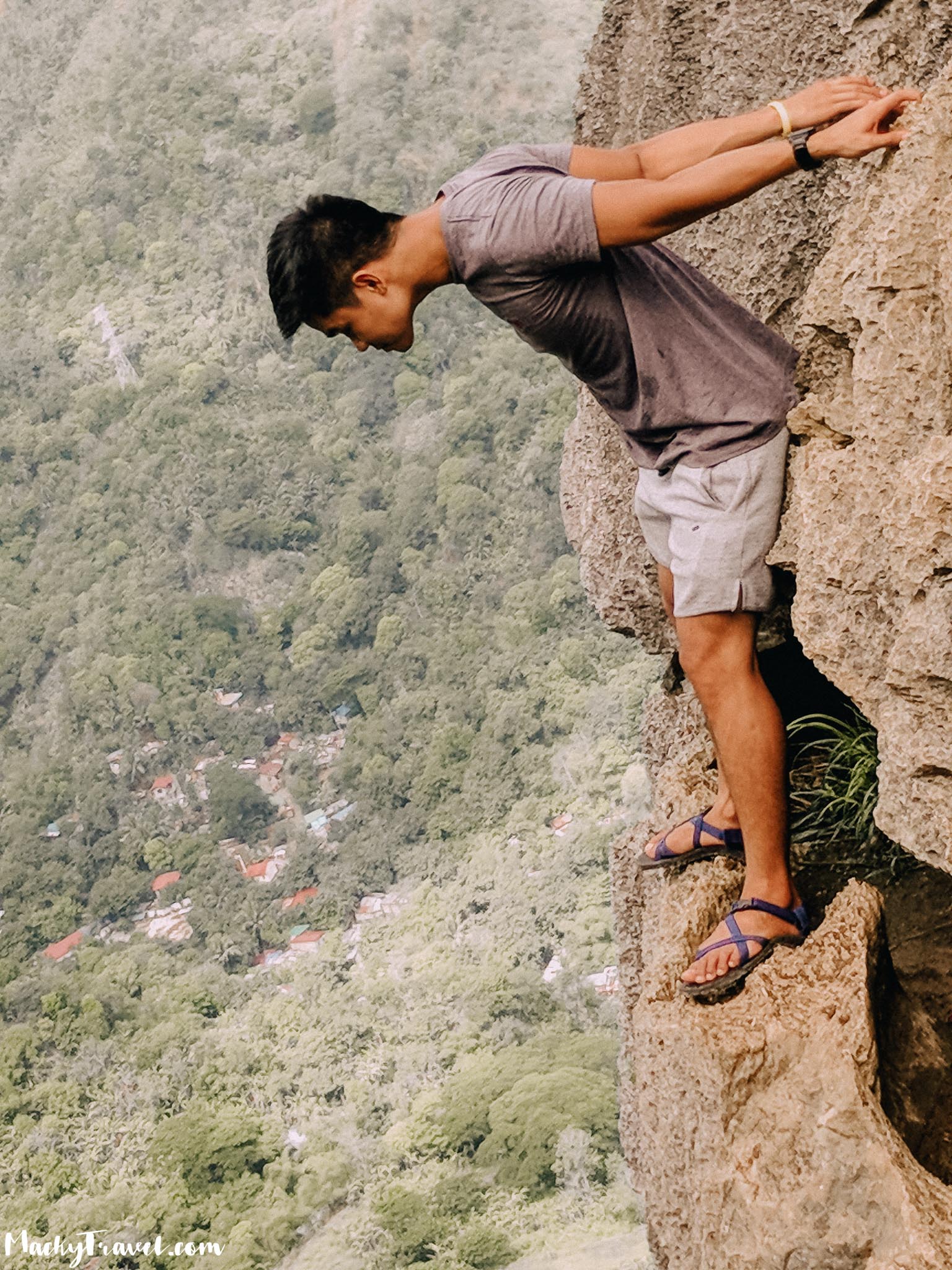
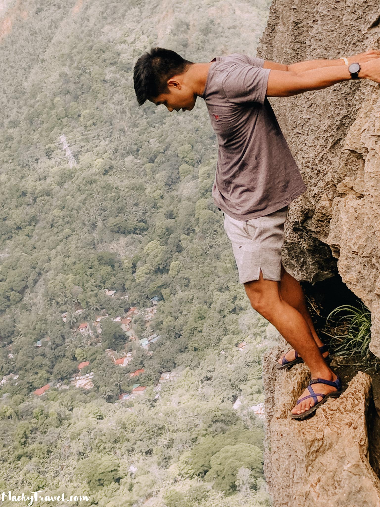
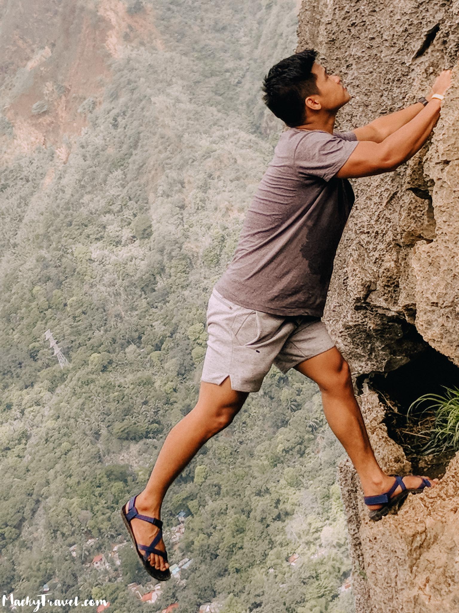
There are a group of hikers there doing some death-defying pose for photo ops. So we waited for the other groups to finish their photo shoot. We continued to trek and we reach the second peak at exactly 9:00 AM.
Below are the pictures from second peak.
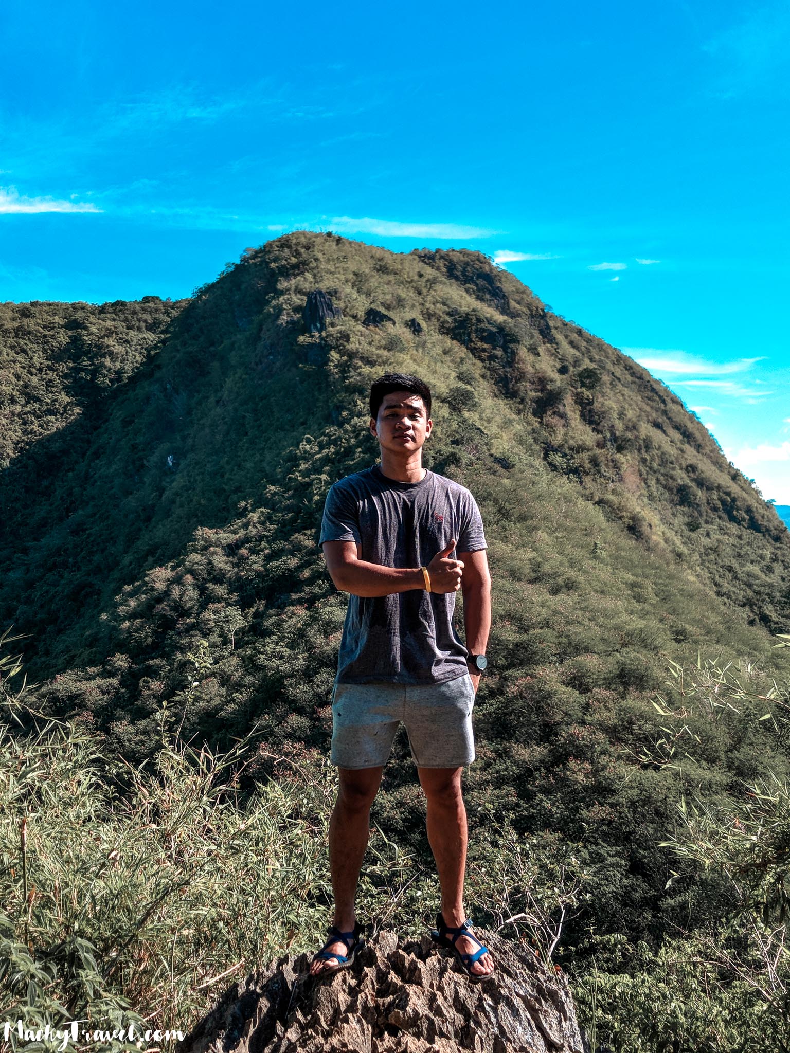
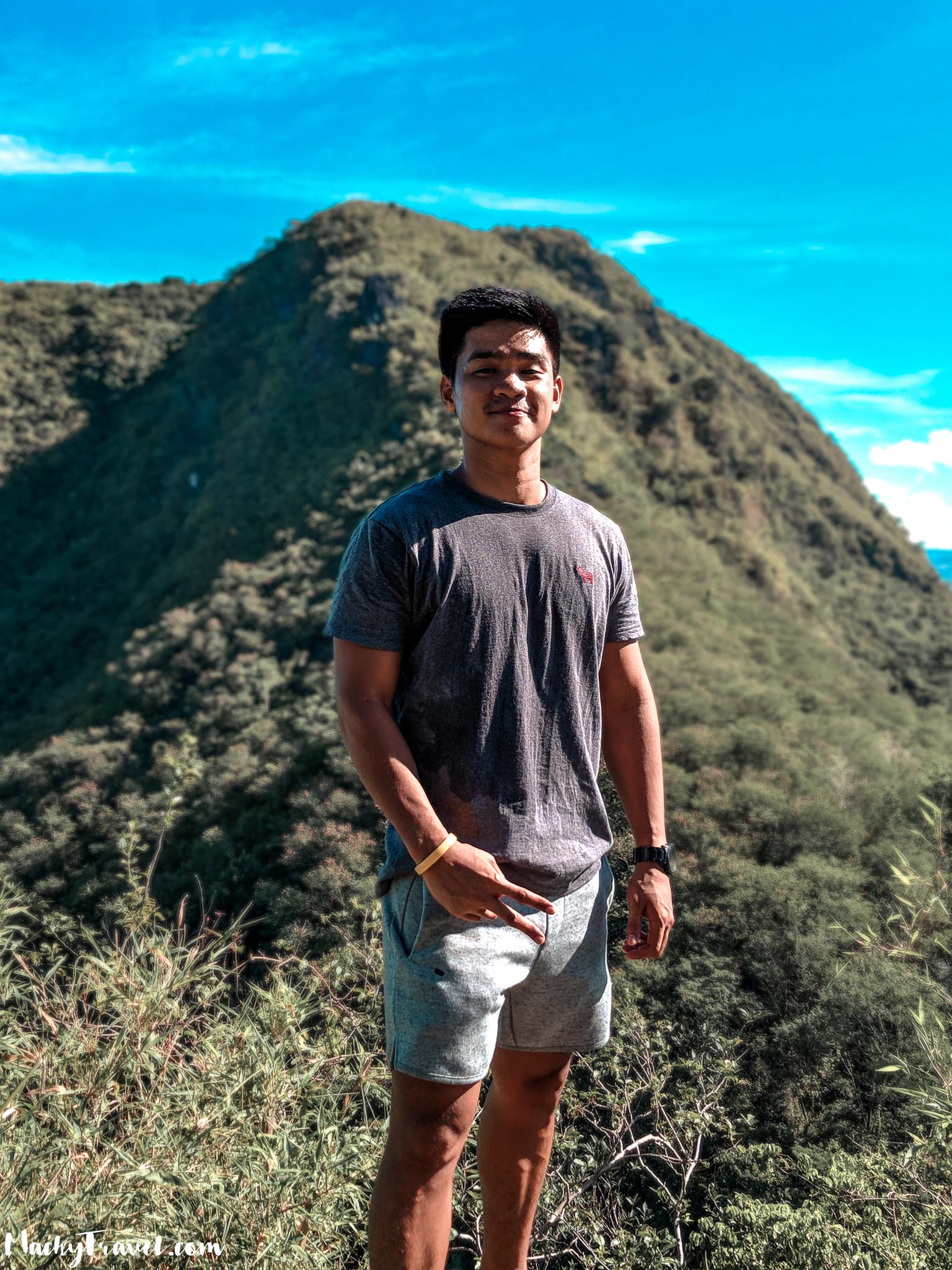
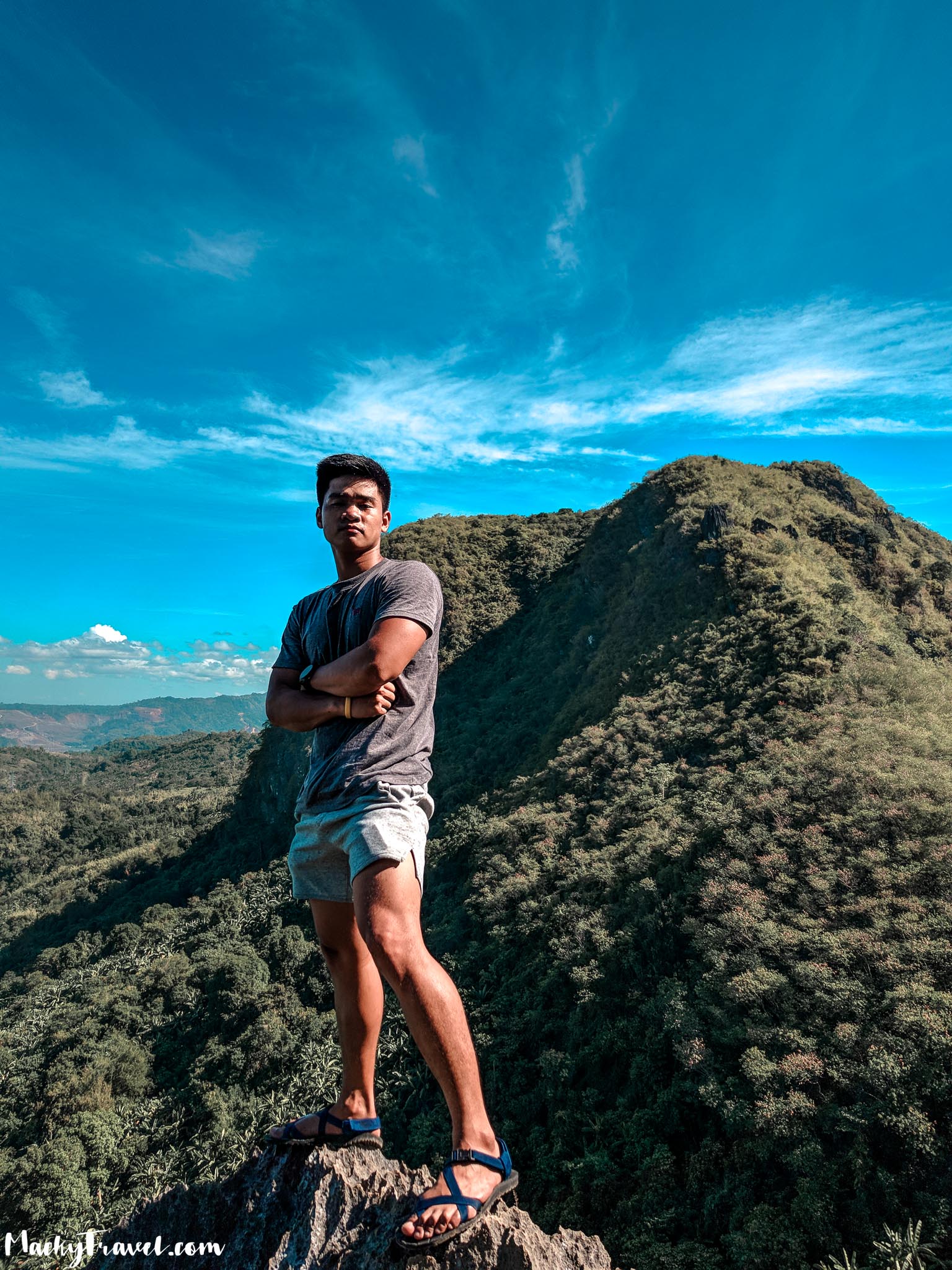
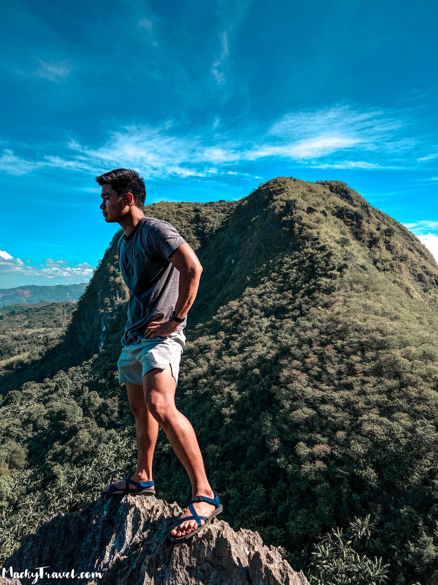
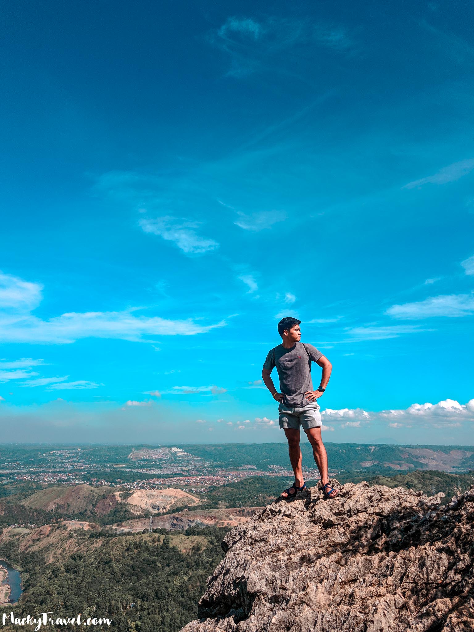
We continued to trek until we reached the summit and take a photo again
I don’t have fears in Heights or Acrophobia that’s why i’m not worried about it.


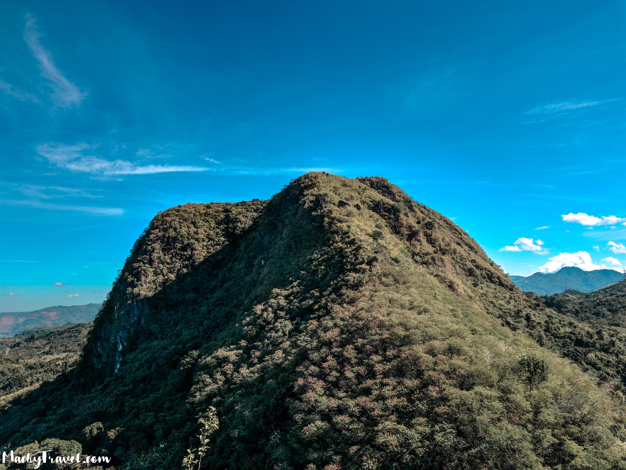
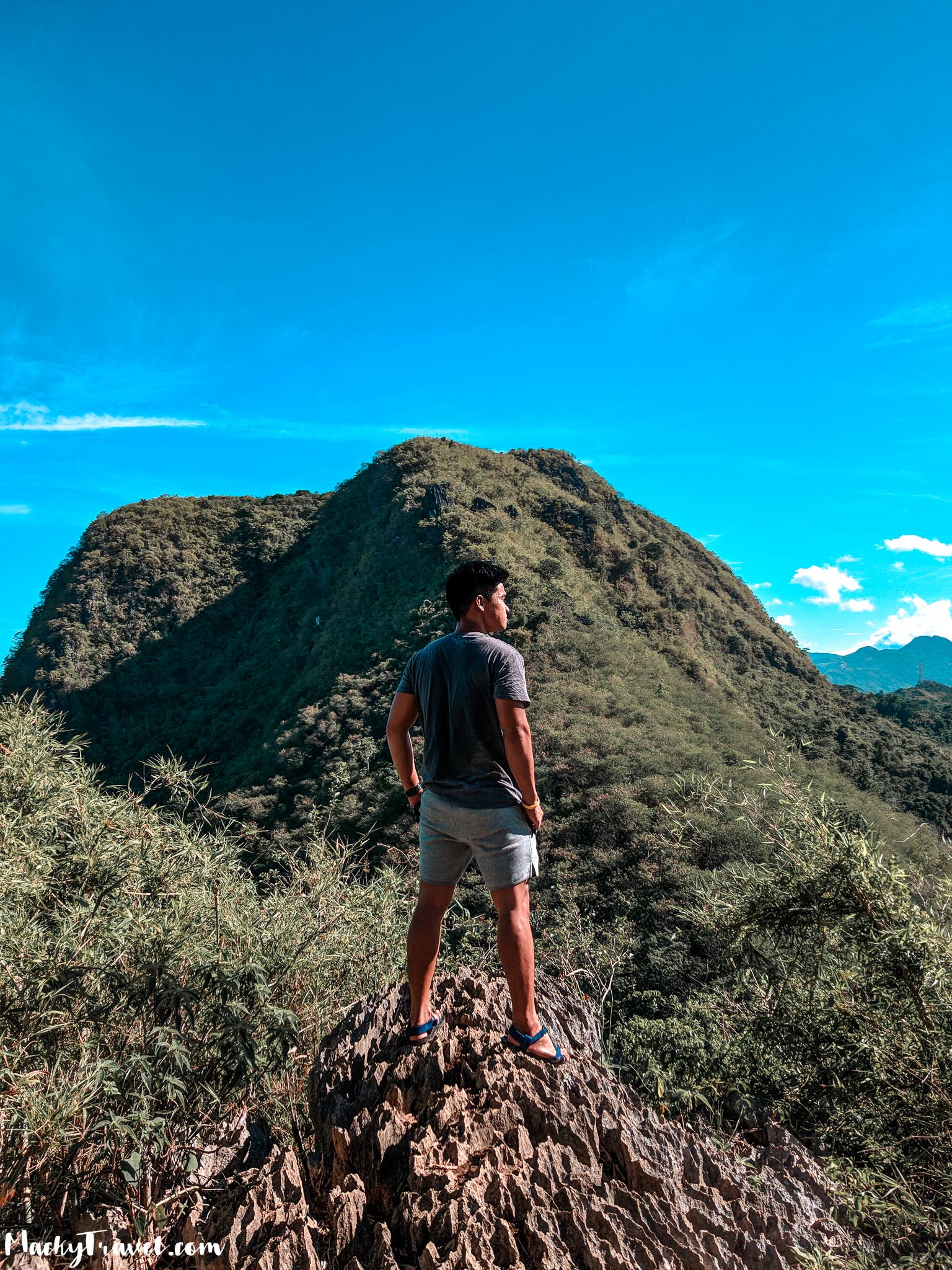
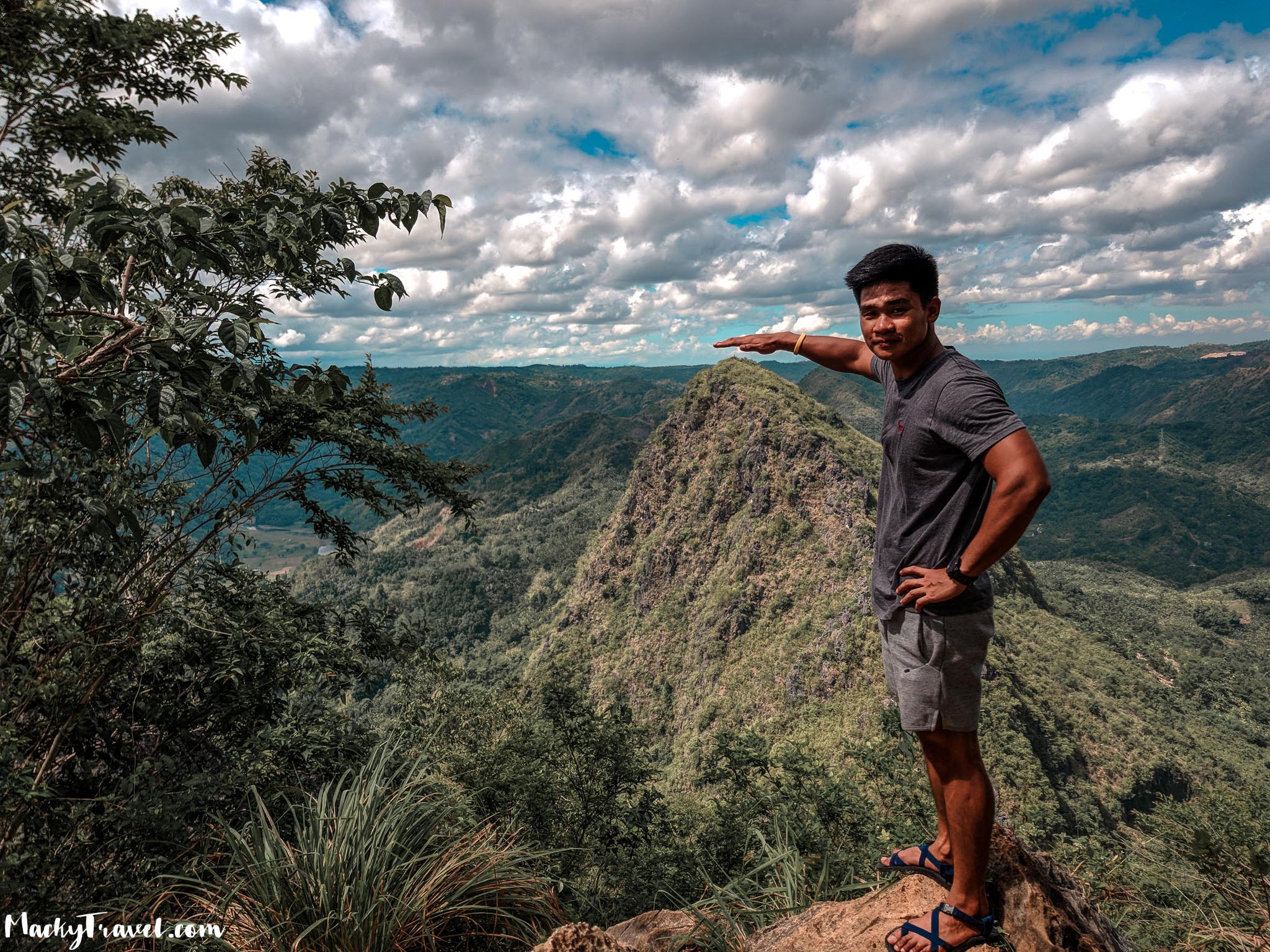
After taking photos we went to another summit of Mt. Pamitinan with Mt. Binacayan at the background.
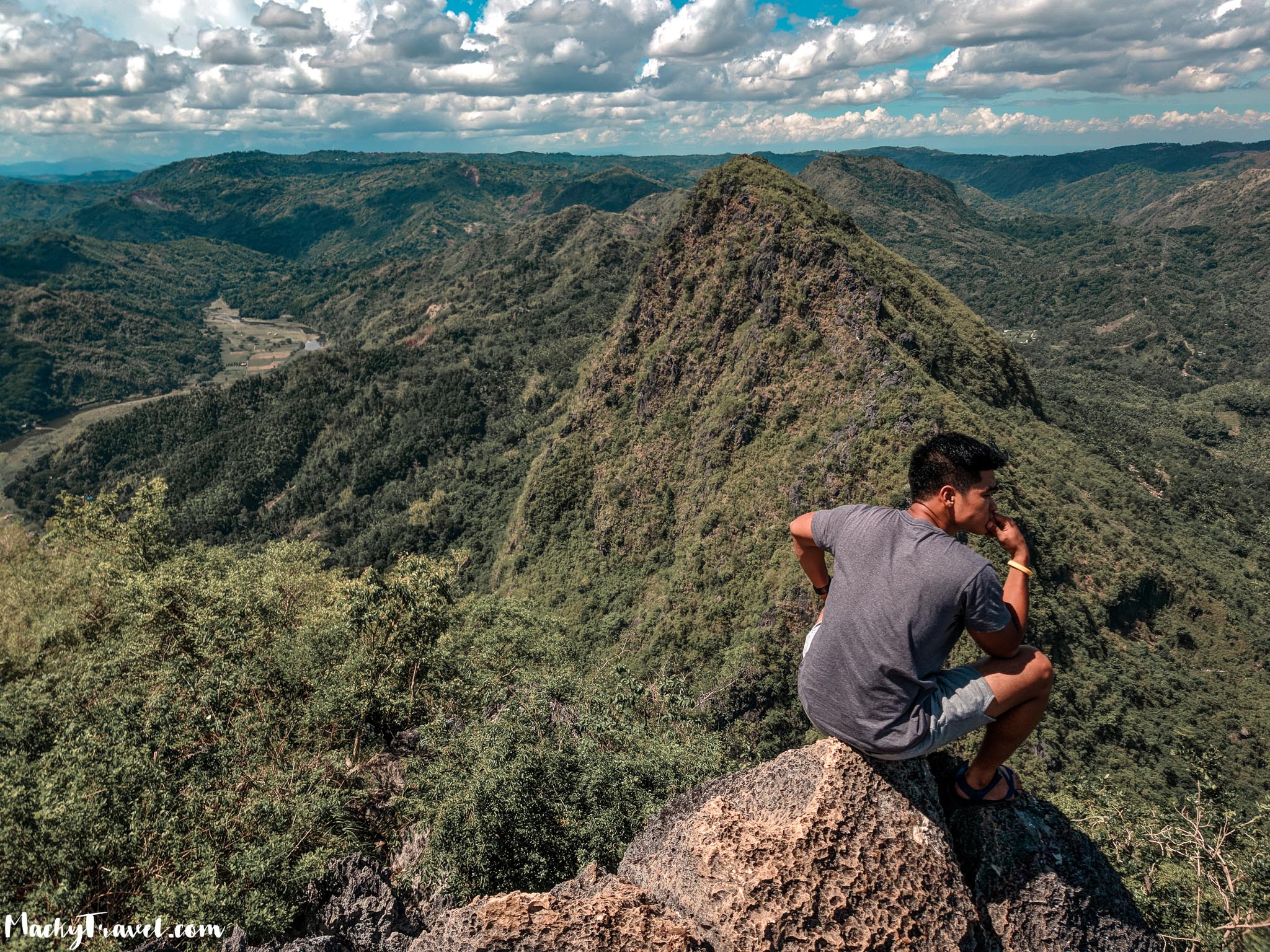
360 Shot
After taking photos on that spot and everything we decided to descent na because we are really hungry na and 12:00NN when we reach the registration area and eat lunch, theN we went to Wawa Dam just to see it.
The water is not clear and there’s lot of garbage around the surroundings and the smell is not good but ok mag picture.
TO BRING
Bring a lot of water
Sunblock
Extra clothes
Energy drink (Gatorade)
Hand Gloves
Packed lunch(Optional). You can buy foods at carinderia nearby
Garbage Bag( Leave no trace)
Cameras(Actioncam, Phone, DSLR, etc)
TIPS
Pack light and bring enough water.
Hiking shoes is much better than wearing sandals.
Bring gloves or any hand protection gears.
DENR Office in Sitio Wawa doesn’t open until 4:30 AM.
Bring snacks/food (Chocolates, jelly, nuts, and etc)
There are shower rooms and toilets at the jump-off point
There are sari-sari store and carideria at the jump-off point where you could have a breakfast or lunch.
Wawa dam is just 5-10 minutes away from the DENR office.
Best time to visit is 4:00 AM so you can witness the sea of clouds before the sunrise.
Better to bring your own trash bag to dispose your waste properly.
Tour guides
Kuya Ronnie (Guide) – 09072395042
Kuya Emman (Guide) – 09493956589
Kuya Ogie (Guide) – 09473868778
Kuya Richard (Guide) – 09983266559
Kuya Joni (Barangay Wawa Official) – 09295497211